
Flagship Project
Integrated Pastoral Forest Project
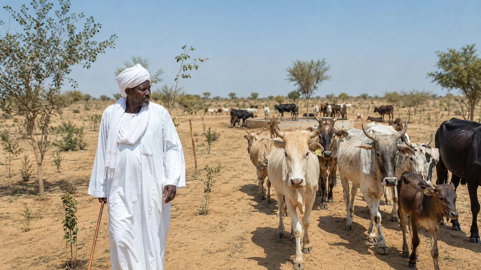
An initiative in line with the Great Green Wall project for the Sahel and Horn of Africa, our project will be implemented in North Kordofan, Sudan, Somalia and Chad, where 500,000 trees will be planted on an area of 20,000 hectares, in three phases between 2027 and 2030.
500000
Trees
20000
Hectares
100000
People reached
168000
Tonnes CO₂e over 20 years
Executive summary
The Integrated Pastoral Forest Project is a large-scale afforestation and rangeland restoration initiative designed to combat desertification, restore degraded grazing land, and support the resilience of pastoralist communities in North Kordofan, Sudan.
The project plants 500,000 trees across 20,000 hectares, establishes a formal network of grazing corridors and water points, and builds the community infrastructure pastoralist families need to thrive on restored land. It is designed to integrate with the Great Green Wall initiative, and is implemented in three progressive phases over four years — moving from a small validation site to a fully restored 20,000-hectare landscape.
Project summary
Background
Compounding pressures that reinforce one another
North Kordofan faces a set of environmental and social pressures that deepen fragility across the region:
- Desertification is advancing steadily. Vegetation cover is being lost, soils are degrading, and rangeland productivity declines year after year.
- Rangelands are shrinking. As productive grazing land contracts, pastoralist herds are pushed into longer and more difficult seasonal migrations in search of fodder and water.
- Competition over land and water is intensifying. Friction between pastoralist and farming communities grows, driven not by hostility but by genuine resource scarcity.
- Communities are increasingly fragile. The absence of veterinary care, water access and training in pastoralist areas leaves these communities exposed and constrains any path toward stability.
These pressures are shared across much of the Sahelian belt — which is precisely why the response, organised afforestation paired with community infrastructure, has been adopted continent-wide under the Great Green Wall initiative.
Alignment with the Great Green Wall
The project is a direct, ground-level contribution to the Great Green Wall — the African Union-backed initiative to restore degraded land across the Sahel and halt desertification along an 8,000-kilometre band stretching from Senegal to Djibouti.
It mirrors the initiative’s core methodology: dense, drought-adapted tree planting; restoration of degraded rangeland; and the integration of local communities as stewards of restored land. Implementing this model in North Kordofan extends the Great Green Wall’s reach into a part of Sudan that has received limited direct investment under the initiative, while generating a replicable template for other Sudanese states and neighbouring Sahelian countries.
Geographic scope
North Kordofan State, Sudan — a region characterised by dryland pastoralist livelihoods, seasonal grazing migration and advancing desertification. It sits within the broader Sahelian gum belt and shares the soil type, rainfall pattern and vegetation cover that make it a natural extension of the Great Green Wall corridor.
More than 3.5 million people live in North Kordofan State, the majority engaged in herding livelihoods affected by conflict, desertification and water scarcity. The project directly addresses these pressures for an initial cohort of more than 100,000 people across the pastoralist communities within and around the project area.
Goal and objectives
Reverse desertification, and make the restored land liveable
Goal: To reverse desertification and restore degraded rangeland across 20,000 hectares in North Kordofan, while building the infrastructure and community systems needed for pastoralist families to live and work sustainably on that restored land.
- Establish 500,000 trees across 20,000 hectares, using species selected for dryland resilience, soil restoration and windbreak function.
- Formalise 80–100 kilometres of grazing corridors, reducing friction between pastoralist and farming communities over land use.
- Secure reliable water access through 30–40 groundwater wells and more than 50 livestock water points.
- Establish semi-settled pastoralist communities served by multi-purpose centres offering veterinary services, training and community support.
- Contribute measurable environmental gains — restored vegetation cover, improved soil quality and long-term carbon sequestration.
Implementation
Three progressive phases over four years
Each phase builds on the results of the last and expands the proven model to the next scale.
1
Year 1
Proof of Concept
A 100-hectare validation site to test species performance, water infrastructure and community engagement approaches before wider rollout.
- 100 hectares planted, 5,000 trees established
- 2 groundwater wells and 2 livestock water points
- Initial engagement with 30–50 pastoralist families
- Baseline environmental and social assessments
2
Year 2
Full Build-Out
Expansion of the validated model to a substantially larger area, with the first grazing corridors formalised.
- 1,000 hectares planted, 50,000 trees established
- 10 groundwater wells and 10 livestock water points
- 20–30 km of grazing corridors formally established
- Engagement expanded to approximately 200 families
3
Years 3–4
Scale and Sustain
Full-scale implementation across the complete project area, with the community infrastructure needed for long-term sustainability in place.
- 20,000 hectares planted, 500,000 trees established
- 30–40 wells and 50+ livestock water points
- 80–100 km of grazing corridors
- 3–5 semi-settled communities with multi-purpose centres
- Full engagement with 100,000 people
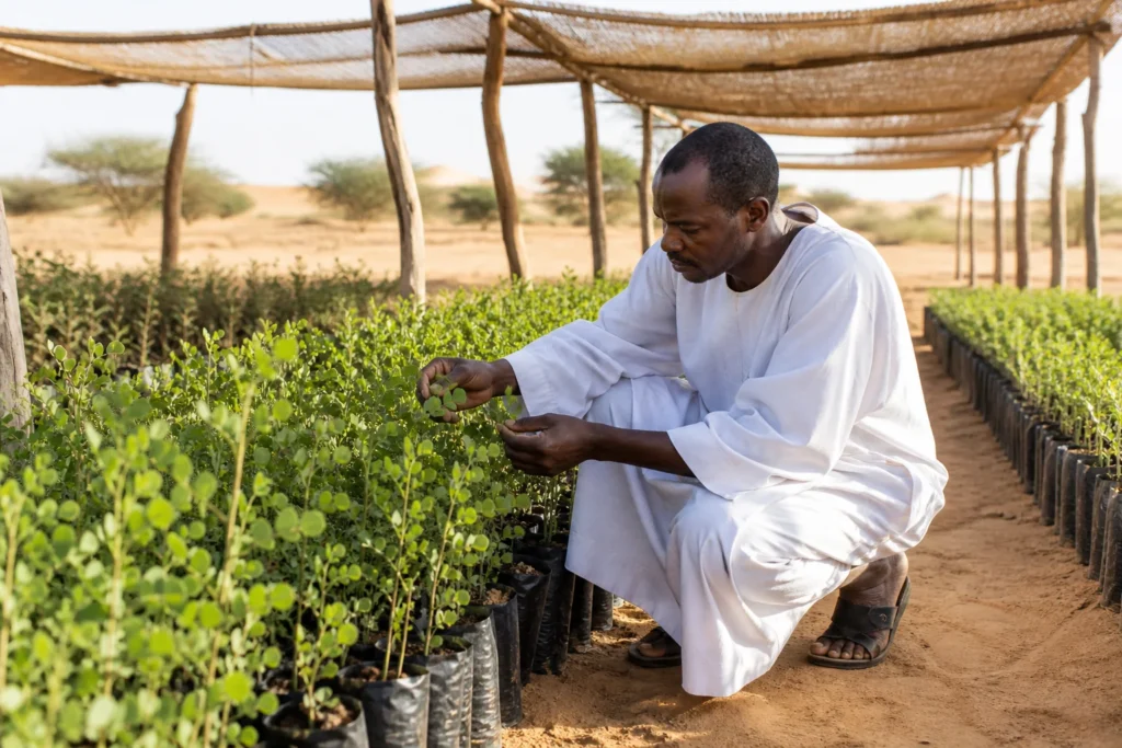
Phase 1 · Proof of concept
It starts with 5,000 trees
The first year is a 100-hectare validation site: species performance, water infrastructure and community engagement are tested at a scale where failure is affordable and the lessons are cheap to apply.
Tree species and environmental design
Six species, chosen to do more than one job each
| Species | Share of planting | Primary environmental function |
|---|---|---|
| Hashab (Acacia senegal) | 40% | Soil nitrogen fixation, erosion control |
| Haraz (Faidherbia albida) | 25% | Dry-season fodder availability, soil improvement |
| Samar (Acacia tortilis) | 15% | Windbreaks, sand stabilisation |
| Hijlij (Balanites aegyptiaca) | 10% | Drought-resilient cover, livestock fodder |
| Moringa (Moringa oleifera) | 5% | Fast-establishing cover, nutritional value |
| Sidr (Ziziphus mauritiana) | 5% | Windbreaks, soil stabilisation |
Haraz plays a particularly valuable role in this design: it sheds its leaves during the rainy season, so it does not compete with grazing land productivity, and produces its most nutritious fodder pods precisely during the dry season, when rangelands are otherwise at their most depleted — directly easing the seasonal fodder gap that drives pastoralist migration.
Supporting pastoralist livelihoods
At full scale, the restored rangeland and associated infrastructure supports approximately 50,000 head of livestock through:
- Formal grazing corridors (80–100 km) giving herders clear, negotiated pathways through the landscape — reducing both overgrazing and friction with farming communities.
- Livestock water points (50+) distributed along the corridor network, shortening the distances herds travel between water sources.
- Fodder from the tree species themselves — particularly Haraz and Samar — supplementing natural grazing through the driest months.
- Veterinary and training services delivered through multi-purpose community centres.
Community development and social impact
- Semi-settled community formation. Three to five pastoralist communities supported in establishing a more stable base within the project area — without requiring full sedentarisation, preserving pastoralist livelihoods while improving access to services.
- Multi-purpose centres. Each community served by a centre offering veterinary support, agricultural and pastoral training, and a point of contact for ongoing engagement.
- Reduced land-use conflict. Formalising grazing corridors and clarifying land use addresses one of the most common sources of friction in the region.
- Inclusive design. Activities structured to engage the full pastoralist household, including opportunities for women’s participation in training and centre-based activities.
Local ownership
Activities are structured to engage the full pastoralist household, including opportunities for women’s participation in training and centre-based activities.Integrated Pastoral Forest Project
Environmental and climate impact
A measurable contribution
At full scale, the 500,000 trees established under this project are estimated to sequester approximately 168,000 tonnes of CO₂-equivalent over a 20-year period — a direct contribution to Sudan’s climate commitments and to the broader environmental goals of the Great Green Wall.
Beyond carbon sequestration, the project is expected to deliver:
- Measurable restoration of vegetation cover across the 20,000-hectare project area
- Improved soil structure and reduced erosion through nitrogen-fixing and windbreak species
- Reduced pressure on remaining natural rangeland outside the project area, as formal corridors and restored grazing land absorb seasonal demand
- A demonstrated, replicable model for extending similar restoration efforts to adjacent regions
Measured, not asserted
Every phase ends with an assessment
Tree survival by species and zone, water yield at each well, kilometres of corridor in active use, families engaged, and carbon against the 20-year baseline. Each phase closes with a structured assessment before the next begins.
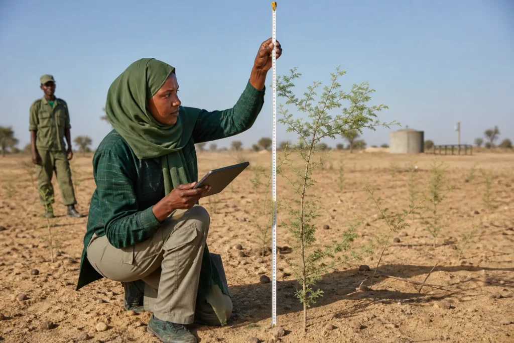
Monitoring and sustainability
Each phase concludes with a structured assessment before the next begins, ensuring that lessons from tree survival rates, water yield and community engagement inform the design of subsequent phases. Key indicators tracked throughout implementation:
- Tree survival rates by species and planting zone
- Water yield and reliability at each well and water point
- Kilometres of grazing corridor formally established and in active use
- Number of pastoralist families and individuals engaged
- Carbon sequestration progress against the 20-year baseline
Sustainability beyond the four-year implementation period is built into the model through the multi-purpose community centres, designed to remain functioning local institutions — providing veterinary and training services well after the initial planting and infrastructure phases are complete.
Conclusion
By combining large-scale tree planting with the water infrastructure, grazing corridors and community services that pastoralist families need, the project delivers environmental restoration and social stability as a single, integrated outcome — directly advancing the goals of the Great Green Wall initiative in North Kordofan, Sudan.
Support this project
The project is designed, phased and ready. What it needs now is partners.